The Equinox Pond, Equinox Pond Rd, and the Pond Pavilion are on private property owned by the Equinox Resort and are not a part of the conserved lands forming the Equinox Preserve.
IMPORTANT NOTICE – Liability: The State of Vermont has long maintained a policy of encouraging private landowners to make their land and water available to the public for recreational uses. Private landowners, such as those who own lands on the Equinox Preserve, who allow recreational users to enter their property at no cost have no duty to inspect their land to discover dangerous conditions and shall not be liable for personal injury or property damage sustained by such recreational users unless the injury or damage is the result of the wanton or willful misconduct of the landowner. Thus, non-paying recreational users take the land as they find it and are expected to exercise due care for their own safety. A full copy of the statute is found here.
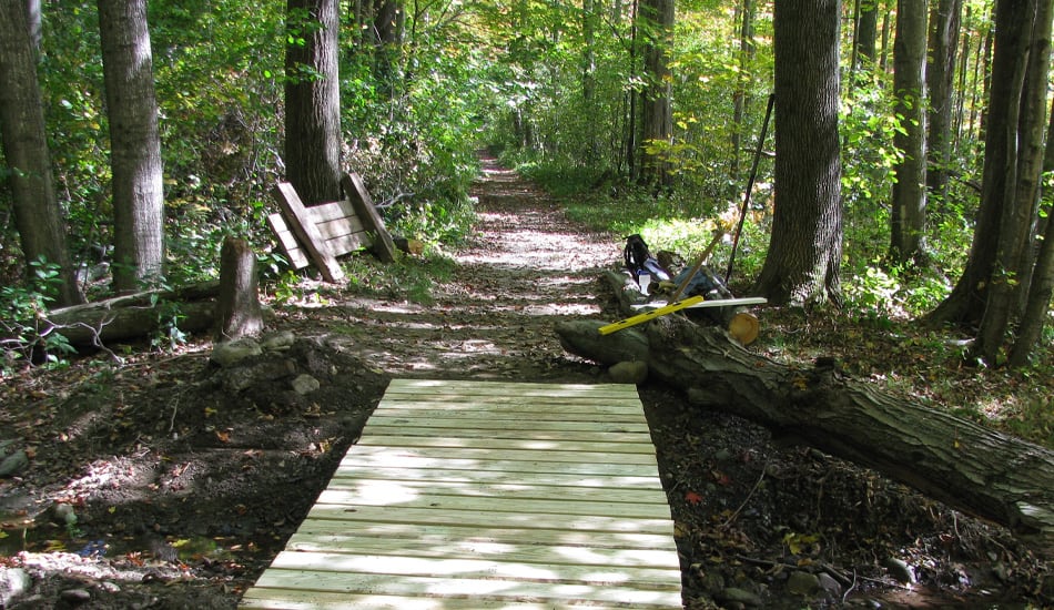
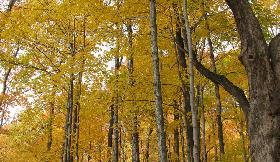
Pond Loop Trail
1.2 km (0.75 mi.)
Easy loop through beautiful hardwoods around Equinox Pond on a level woods road. Please note:The Equinox Resort may close a portion of the Pond Loop Trail during special events at the Pond Pavilion (most often May-October), if the Resort anticipates there may be a potential conflict between trail users and those attending an event.
A connector trail off the Pond Loop to the Southern Vermont Art Center Loop through lands owned by the Vermont chapter of The Nature Conservancy as well as private landowners.
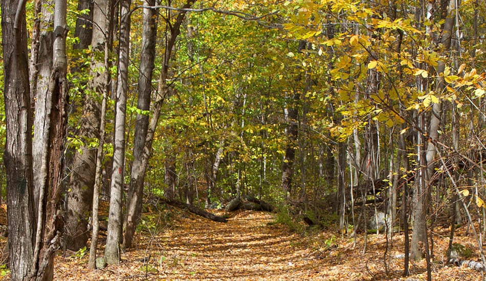
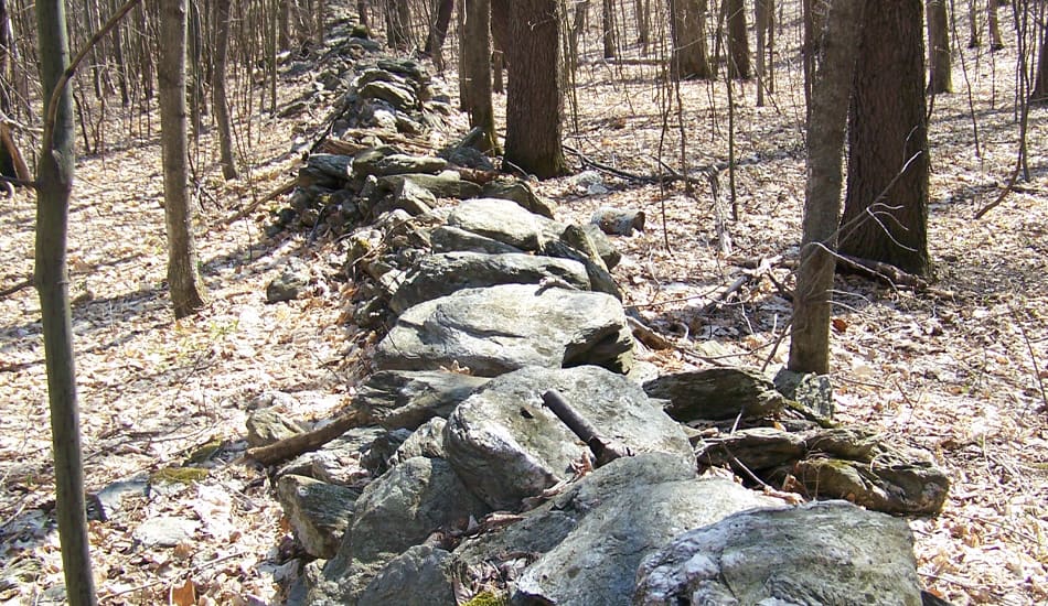
The Snicket (an English word for narrow, winding path) is a lovely walk through mature forests that were farm fields a century ago. Look for the stonewall — evidence of a time when the land was cleared for farming.
ALLOWED USES:
Hiking, Cross-country Skiing, Snowshoeing
Aspen Trail
.13 km (.10 mi.)
Shortcut connecting the Trillium Trail with the Red Gate Trail.
A steep, but brief climb leads to Robin’s Lookout. From here, there are spectacular views of Equinox Pond, the Battenkill Valley and the Green Mountains to the east.
ALLOWED USES:
Hiking, Snowshoeing
Trout Lily Trail
1 km (0.62 mi.)
This trail narrows and ascends steeply along a series of stone stairs through lovely hardwoods to meet the Mountain Bluff Trail. As the slopes here are very steep and sensitive to human impact, please stay on the trail.
ALLOWED USES:
Hiking
Blue Summit Trail
5 km (3.1 mi.)
(Commonly known as the Burr & Burton Trail) From the Red Gate, this trail ascends for a long distance on a rather steep woods road to the Upper Spring (half-way point), then becomes a narrow hiking trail, ascending steadily through high elevation forests, and eventually reaching the summit.
ALLOWED USES:
Hiking & Snowshoeing on the entire trail, plus cross-country skiing, and mountain biking BELOW THE TRILLIUM TRAIL ONLY. Horseback riding is permitted only up to the point where the Red Gate trail departs to the left (south).
Maidenhair Trail
1.6 km (1.00 mi.)
Beginning from the Trillium Trail and crossing the Blue Trail, this trail follows a gently sloping woods road, eventually descending steeply to the SVAC Loop.
ALLOWED USES:
Hiking, Snowshoeing
SVAC Loop
1.6 km (1.00 mi.)
This trail loop follows rolling woods roads through lands owned by the Vermont chapter of The Nature Conservancy.
With steep ascents and descents, this is a challenging trail. The trail climbs to an elevation of 1580 feet, then runs pleasantly along the contour before descending to the south and joining the Pond Loop.
ALLOWED USES:
Hiking, Cross-country Skiing, Snowshoeing, Mountain Biking (as permitted by The Nature Conservancy).
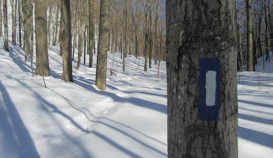
All trails are open for pedestrian use. The Equinox Preservation Trust may close some trails temporarily for repairs or to protect them from damage during muddy conditions.
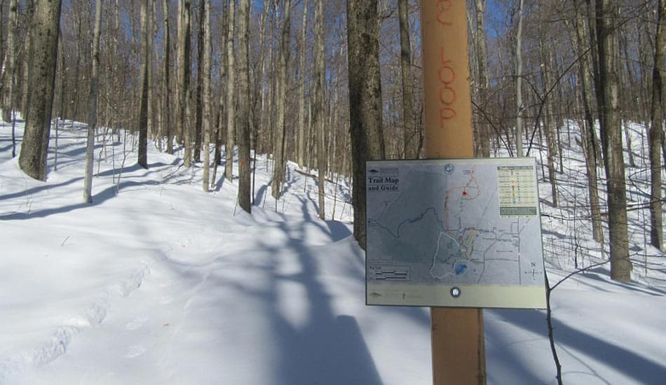
Informational kiosks greet visitors at both entrances to the Preserve. A third kiosk is located near the trail connector at the rear of the Equinox Hotel parking area.
Naturalists have long held Mt. Equinox in high esteem for its beauty and natural diversity, a valued source of study by botanists and ecologists since the late 1800s.